T: 01822 851370 E: [email protected]
Take part in our survey about life in rural England
Visit RSN Survey about life in rural England to find out more.
16.08.2021
Carbon emissions in rural areas mapped by neighbourhood carbon calculator
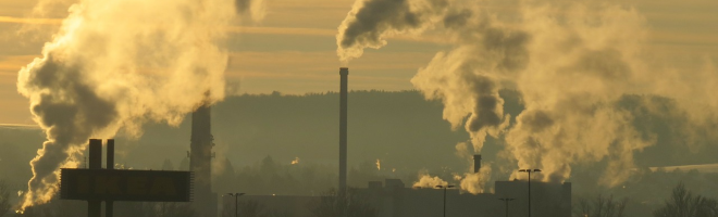
The Watton and Swaffham Times reports that prospering rural communities, remoter communities and ageing rural communities are among the worst 10 per cent in England for their total emissions grade
The Centre for Research into Energy Demand Solutions produced a place-based carbon calculator that looks at a single year in carbon emissions across England to help policy makers understand where their community's footprint comes from and how they can bring it down.
Those with the worst emissions include affluent neighbourhoods such as Easton, Plumstead, Brooke, Cromwells and North and South Wootton, but also remote areas in Lothingland, Tasburgh, Great Witchingham and Mattishall.
Full article:
The Watton and Swaffham Times - Revealed: Carbon emissions in Norfolk mapped by neighbourhood


